Manitoba History at Upper Fort Garry
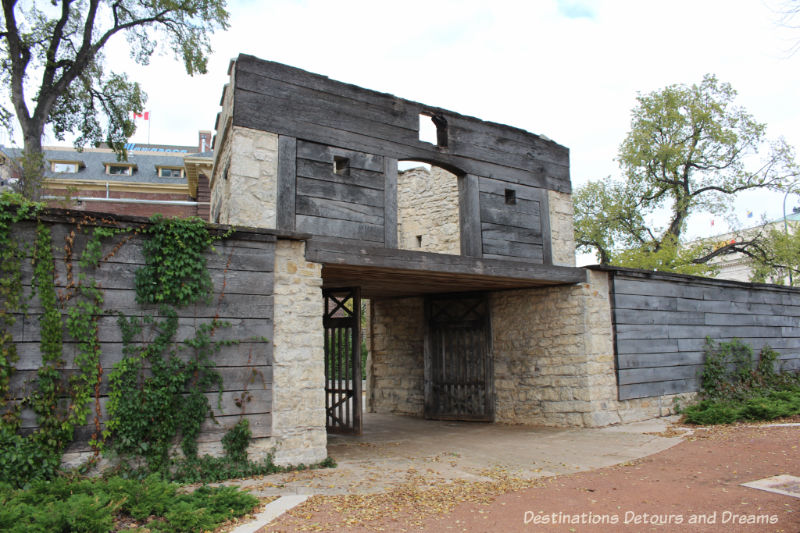
Discovering history at Upper Fort Garry Provincial Park in Winnipeg, Manitoba through technology, art, gardens, and an old gate
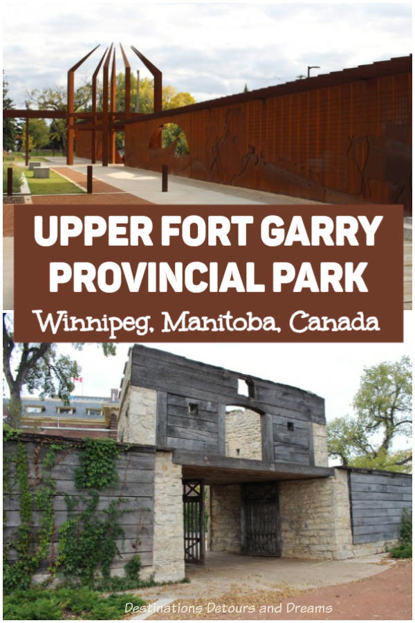
How do you create a heritage site/museum when all that remains is an old gate? At Upper Fort Garry Provincial Park in Winnipeg, Manitoba, a combination of park landscaping, sculpture, sound, light, and modern technology showcase the significant history of what was once a trading post and the gateway to the West.
The original Fort Gibraltar was built by the North West Company in 1806 and rebuilt in 1817 after being destroyed the year prior in conflicts between the North West Company and the Hudson’s Bay Company. In 1822 the companies merged and the North West Company name disappeared. The fort was renamed Fort Garry and was operated by the Hudson’s Bay Company. The Fort was severely damaged by a flood in 1826. It was rebuilt in 1835 with stone walls. At that time it was renamed Upper Fort Garry to differentiate it from Lower Fort Garry, which had been built thirty-two kilometres down river in 1831. The remaining Upper Fort Garry gate dates to the 1850s.
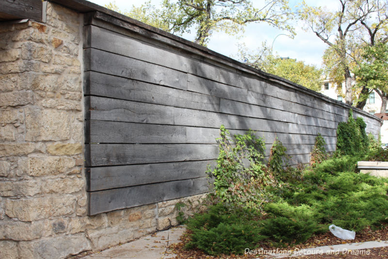
Upper Fort Garry was the administrative centre of Rupertsland, a large expanse of land to which the Hudson’s Bay Company had been given exclusive rights to trade and colonize by a 1670 royal charter. In 1869, Rupertsland was transferred to the Canadian government. As Canada prepared to send surveyors to the area, the Métis people feared losing their land and rights. Under the leadership of 25-year-old Louis Riel, they seized control of Upper Fort Garry and created a provisional government. It was inside the Fort’s walls, during the winter of 1869 – 1870, that they presented Canada with a Bill of Rights that led to the Manitoba Act. Manitoba became the fifth province of Canada.
No longer in use, the Fort was gradually demolished between 1881 and 1888. Only the Governor’s Gate survived. In 1897, the Gate and the small parcel of land around it were given to the city as a public park. Over the years, the land around the gate has been used as a bus depot, soccer field, and gas station. In 2009, the non-profit group The Friends of Upper Fort Garry took over ownership of the land and buildings to transform it into a heritage park and interpretative centre. Upper Fort Garry was declared a provincial park in 2014.
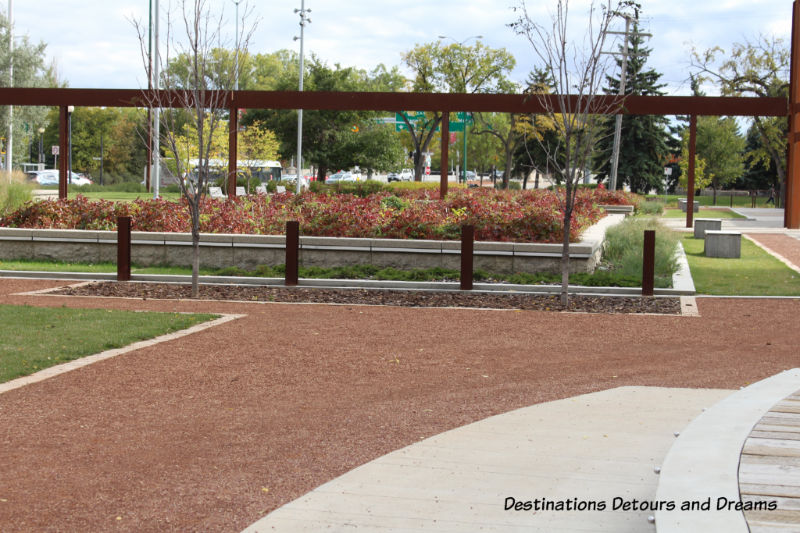
Although the gate is all that remains of the old Fort, today’s visitors can still get a sense of the Fort’s layout. Garden beds mark locations of some buildings, but the original fort was much larger than the current park and would have extended across the streets.
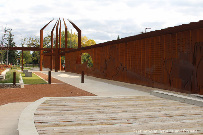
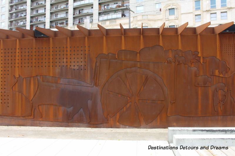
Perhaps the most spectacular feature of the Park is the Manitoba Liquor & Lotteries Heritage Wall which marks the height, depth and location of Upper Fort Garry’s west wall. Made of three layers of weathering steel, it is 400 feet long and up to 13 feet high. Layers and symbols on the wall trace the history of Western Canada and Upper Fort Garry.
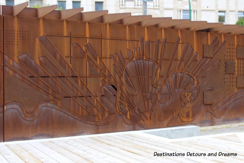
Viewing from left to right, the imagery begins with First Nations, Métis, and the fur trade. It then portrays European settlers and the events surrounding the Red River Settlement entry into Canada. Finally, it depicts the remaking of the prairies, the building of Winnipeg, and the development of northern Manitoba. A sign post at the north end of the wall provides a guide to the events depicted on the wall.
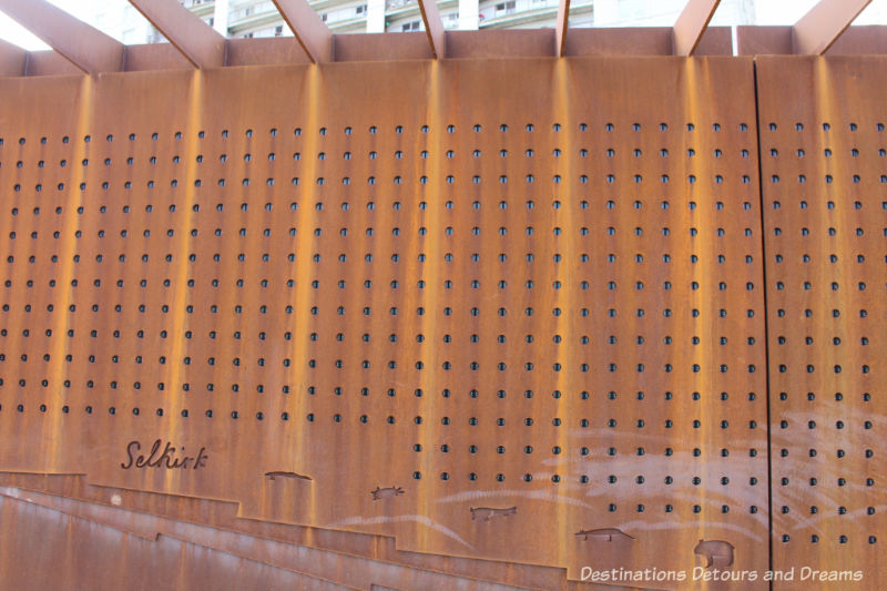
Housed inside the Heritage Wall are over seven thousand LED lights. They provide a coarse screen for animation and video. A Sound and Light Show plays every fifteen minutes daily from 10 am to 8 pm and from 11 am to 8 pm on weekends.
Flashing lights and sound recreate the Métis bison hunt. Dogs bark at the start as the fort come to live. The show features, among other things a storm, thunderous stampede of bison, and French-Canadian fiddle music celebrating the end of the hunt.
Entrance to Upper Fort Garry Provincial Park is free. The Park is located in downtown Winnipeg at the corner of Broadway and Main, across from Union Station. On the other side of Union Station is The Forks, the junction of the Red and Assiniboine River that has been a meeting place for centuries and remains a meeting place today.
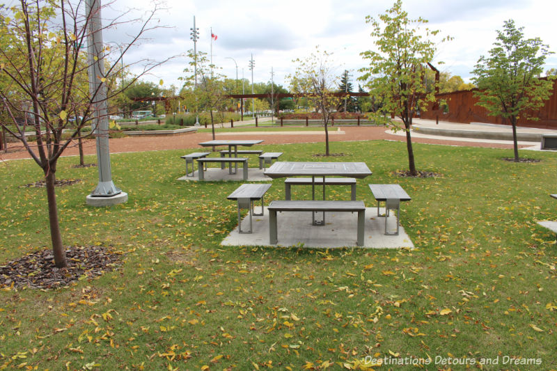
There is some signage in the park to explain the symbols and the historical events. For more guidance, a free mobile app from the Apple App Store or Google Play uses geo-location to pinpoint your location and locations of interest, and provides historical information. A printable downloadable guide is also available on the park website.
Never miss a story. Sign up for Destinations Detours and Dreams monthly e-newsletter and receive behind-the-scenes information and sneak peaks ahead.
PIN IT

A pretty creative way to put together a history museum. I like the fact that it is so accessible.
Ken, it is very accessible.
I love the iron artwork on the gates and that they tell part of Canada’s history.
Rosemary, the heritage wall is an interesting way to depict history.
Magnificent place and remarkable architecture, Donna. Is there an entrance fee to this museum?
Agness, there is no entrance fee. It is a park area just off a fairly major street.
The park is lovely, Donna and the Heritage Wall itself is interesting with the weathering steel in different shades of rust. Each time I read one of your posts, I feel like I learn another side to Canada’s history!
Anita, and each time I visit another site it seems I learn a bit more about Canadian history too or see it from another perspective.
Really an interesting way to do a museum. I’ll have to visit when I get up there again.
Cindy, it is an interesting approach. I hope it weathers well.